

Google Maps has captured the beauty of Grand Canyon in Street View. You can explore 75 miles of trails and roads, and view images of the canyon in 360 degrees. I think this would be a great tool for teachers who are introducing students to biomes and landforms. Visually exploring Grand Canyon can support and illustrate the ideas they learn from their science textbooks, and help reinforce important ideas about this specific landform.
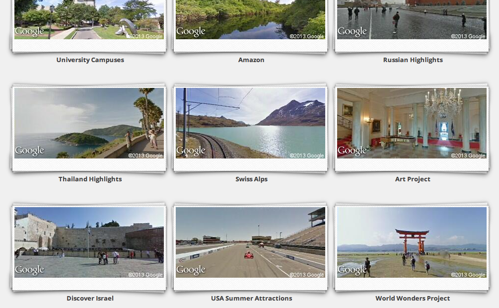
Google has also captured other famous and historical places in Street View that could be used to enhance student learning.


No comments:
Post a Comment